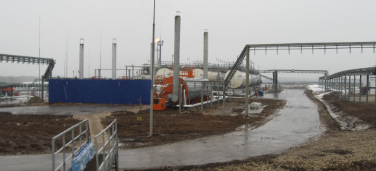
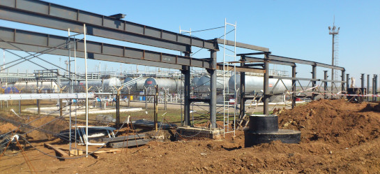
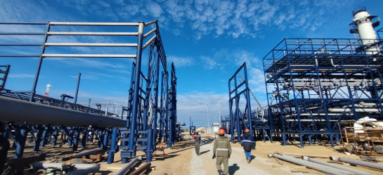
Surveying
The company carries out the whole range of surveying.
Engineering survey department is equipped with all necessary facilities from leading manufacturers Trimble , Topcon, Nikon, Leica, Sokkia, Metrotech, etc. to perform field and office activities.
Field data processing is done by using CREDO-DAT, EngGeo software. Autocad and Mapinfo software is applied to transfer survey data to a customer.
- Topographical surveys:
- developing geodetic control networks;
- routing linear facilities (motor ways, pipelines, power lines);
- creating and updating topographical plans at a scale of 1:500-1:5000;
- mapping underground utilities;
- специальные геодезические и топографические работы при строительстве и реконструкции зданий и сооружений;
- Geotechnical surveys:
- nautical surveys;
- geotechnical expertise;
- surface excavation, open pit and underground mining surveys;
- engineering site investigations;
- permafrost surveys;
- lab tests of ground and bottom waters;
- forecast of geological condition changes;
- survey of soil condition of existing buildings and structures;
- field tests and soil tests.
- Environmental surveys:
- Estimation of current environment status based on field terrain, topsoil, animal and vegetal life studies;
- Geoenvironmental testing and open air, soil, ground, surface water bodies and ground water pollution assessment;
- Radiological situation examination and assessment, including area potential radon hazard;
- Lab chemical analyses.
- Hydrometeorological surveys:
- data collection, analysis and integration ;
- hydrometeorological and map coverage of an area;
- survey area water body reconnaissance;
- water body stream conditions property observation;
- ice conditions hazardous hydrometeorological process and event examination;
- river, lake, wetland area water balance examination;
- flow of catchment and river section generation examination;
- main structure parameter justification and identification of hydrometeorological conditions of their operation;
- data office processing using calculated hydrological and meteorological characteristics required for facility design.